Currently, I’m working on a project to apply network analysis and machine learning to road networks of California. Our goal is to evaluate the road networks in terms of accessibility and efficiency, and then come up with alternative solutions to improve on these road networks or even create new ones.
Growing up in the Bay Area, I’ve always been aware of our dependence on cars and how much our lives are affected by transportation systems. One thing that we sorely lack is a dependable public transportation system; in my ideal universe, we’d have buses, subways, and trains instead of freeways! Although that being said, tearing up infrastructure and forcing people to give up cars is easier said than done. So the question is, how can we leverage our existing road infrastructure to make traveling easier?
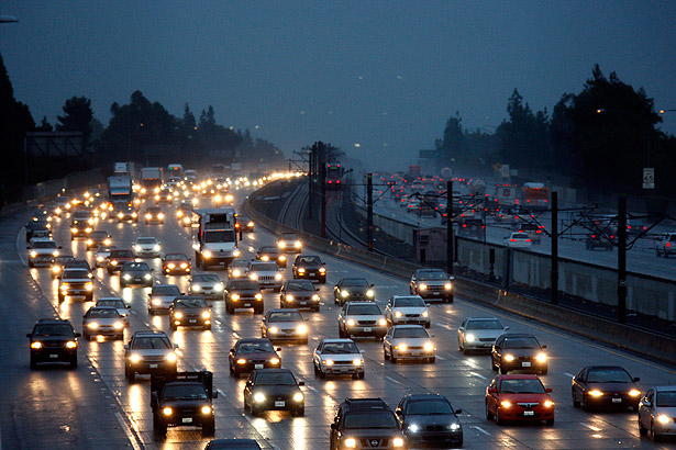
(Photo courtesy of LA Times: http://lat.ms/1QmiUf6)
One potential solution we are exploring is rethinking GPS navigation tools like Google Maps to optimize routes in terms of efficiency for all travelers. This idea is motivated by one night in San Francisco where my family and I had just eaten a delicious dinner in Chinatown and were trying to drive back to my apartment. As usual, we were following the shortest path that Google Maps had routed for us. Unfortunately, as we sat in our car in downtown traffic and watched pedestrians and bikers pass by, we realized that everyone around us was more or less following the same route. We realized that if we just made a detour down some random side street, we ended up reaching my apartment much faster. This made me think: wouldn’t it be cool if there was a GPS navigations tool that would route different travelers down different paths? That leads to one of the challenges of my project: If we knew the location and destination of every moving vehicle at a time, how could we direct traffic to optimize the greater good?
One thing I am amazed to realize is that there are massive datasets available online for both California road networks and traffic data. Imagine all the interesting research you could be doing with this data!